
Precision from above.
Results on the ground.
Professional aerial spraying, broadcast spreading, thermal inspections, mapping, imaging and recovery support for Mississippi landowners, agricultural operations, municipalities, contractors and property managers.
Better access. Better information. Less ground disturbance.
Shadow Vet Drone Ops was built to put advanced unmanned aircraft technology to work on real operational problems.
Our mission is to give clients a safer and more efficient way to treat difficult terrain, document property conditions, collect actionable imagery and respond when traditional access is slow, destructive or impractical.
Every mission begins with a review of the property, operational objective, access, airspace, weather and required deliverables. No generic flight plan. No one-size-fits-all proposal.
Drone services built around your property and objective.
From agricultural application and vegetation management to thermal documentation and recovery support, every project receives site-specific planning and a clearly defined scope.
Aerial Spraying
Precision liquid application for vegetation control, drainage corridors, fence lines, pastures, orchards, food plots and other locations where ground equipment may cause damage or struggle with access.
View spraying servicesSpreading and Seeding
Drone-based broadcast distribution for seed, cover crops, food plots, granular fertilizer and habitat-management projects, subject to product and site suitability.
View spreading servicesThermal Inspections and Mapping
High-resolution visual and thermal data for property, infrastructure, roof, utility, livestock, wildlife and documentation missions using professional enterprise aircraft.
View inspection servicesDeer and Pet Recovery
Thermal aerial support for locating animals across wooded areas, fields and difficult terrain when visibility and ground access are limited.
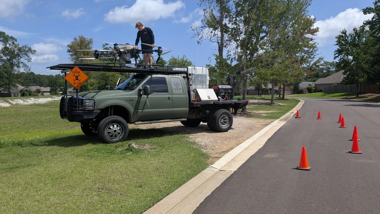
Request recovery supportTargeted vegetation control for a drainage corridor.
Dense vegetation along the Pinebrook drainage area required a treatment method capable of reaching uneven banks while reducing the need to place personnel and heavy equipment inside the corridor.
Shadow Vet reviewed the treatment boundaries, identified areas requiring additional attention and deployed the agricultural spray platform for a controlled, site-specific application.
A practical tool for places traditional equipment cannot serve well.
Drone operations are most effective when the aircraft solves a specific access, safety, documentation or efficiency problem. Shadow Vet evaluates that fit before recommending a mission.
Minimal Ground Impact
Avoid unnecessary tire traffic, soil compaction, crop crush and damage to sensitive surfaces.
Difficult-Terrain Access
Reach slopes, wet areas, drainage banks, fence lines and obstructed locations from the air.
Mission Documentation
Support planning and reporting with mapped boundaries, imagery and defined project deliverables.
Site-Specific Planning
Match the aircraft, payload, sensor and operating procedure to the property and objective.
From mission request to completed operation.
Quotes and scheduling are based on mission requirements—not a generic appointment slot.
Submit the Mission
Provide the location, acreage or structure, desired service, timeline and any known access concerns.
Site Assessment
We review boundaries, terrain, airspace, access, weather, equipment requirements and deliverables.
Proposal and Planning
You receive a defined scope, pricing, responsibilities and any required service or land-use documentation.
Deployment
The mission is scheduled around safe operating conditions and completed according to the approved scope.
Prepared for commercial and government missions.
Shadow Vet Drone Ops is a veteran-operated, Service-Disabled Veteran-Owned Small Business with commercial and government vendor credentials. We bring military discipline, former law-enforcement experience and professional flight planning to every deployment.
Let’s determine whether a drone is the right tool.
Send the property location, estimated acreage and a brief description of what needs to be treated, inspected, mapped or located. Shadow Vet will review the mission and recommend the appropriate next step.