
Shadow Vet Drone Ops / Agricultural Operations
YOUR LAND. THE RIGHT APPROACH.
Agricultural aerial application, spreading, seeding and field documentation capability for Mississippi farms, pastures, ponds, food plots, land managers and rural properties.
Regulated application work is accepted only after applicable credentials, insurance, aviation authority and product-label conditions are verified.
Ag & Land Management
Not every acre needs the same solution.
SVDO combines aerial capability with practical site assessment. We evaluate access, equipment, products, acreage and the desired outcome before recommending any application or distribution service.
Precision Aerial Application
Mapped liquid application capability for permitted vegetation management and agricultural use sites where aerial treatment is appropriate.
Seeding & Spreading
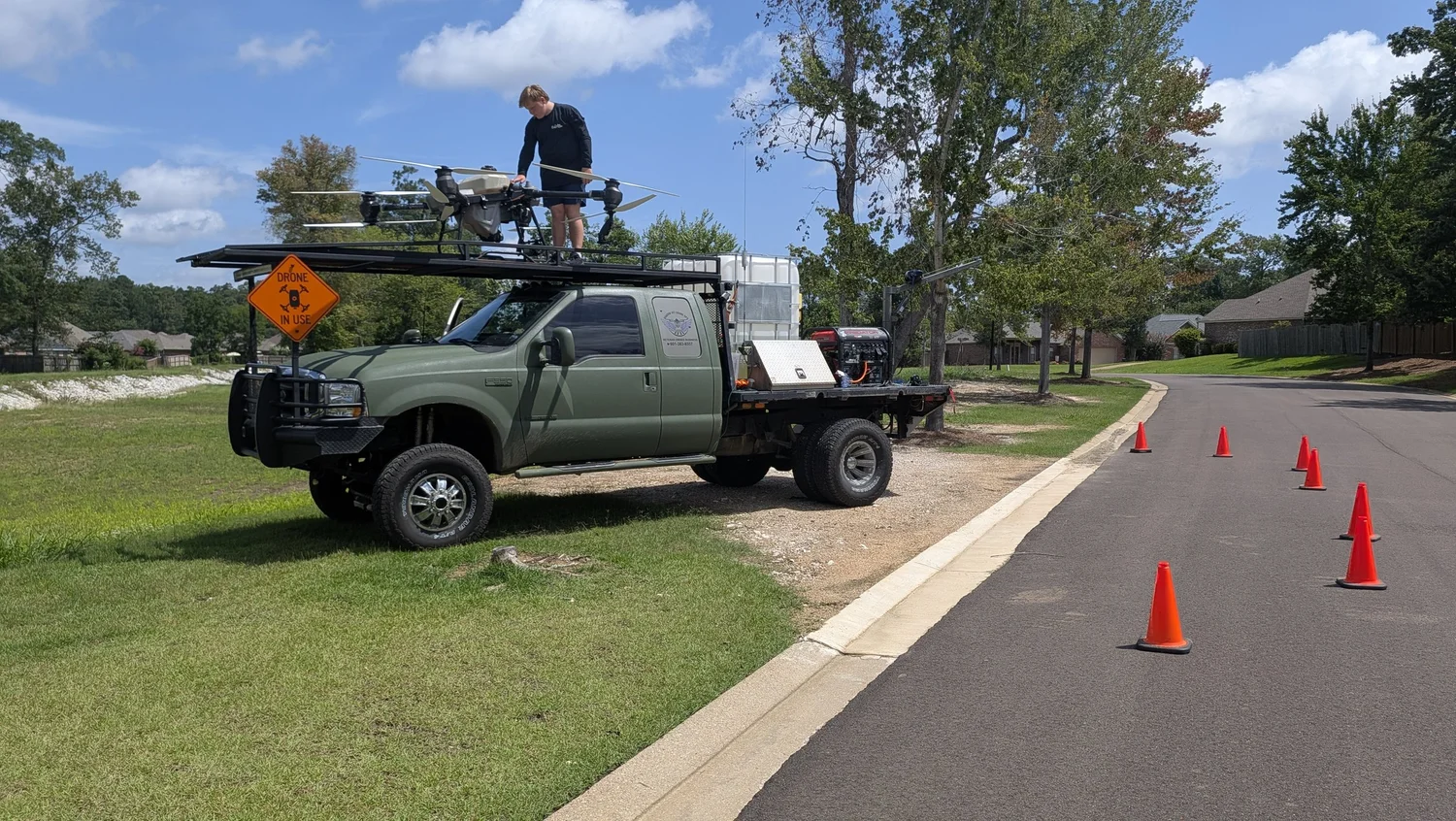
Broadcast delivery of suitable seeds, granular fertilizer and compatible soil or habitat materials using the T50 spreading system.
Pasture & Hayfield Support
Weed-pressure assessment, brush and fence-line planning, imagery, acreage mapping and appropriately authorized treatment work.
Ponds & Drainage
Pond-bank and aquatic vegetation mapping, shoreline treatment planning, drainage documentation and suitable specialty materials where permitted.
Food Plots & Wildlife Land
Preplant assessment, land documentation, food-plot seeding, compatible spreading and appropriate vegetation management by season.
ROW, Timber & Difficult Ground
Imagery and mission planning for rights-of-way, timber edges, drainage banks and hard-to-reach areas, with regulated treatments only when authorized.
Field Experience / Pinebrook
The mission determines the method.
For the Pinebrook drainage-corridor project, SVDO planned focused treatment of difficult-access vegetation, defining work boundaries and field conditions to help reduce unnecessary ground disturbance.
Our Standard
A drone is a tool. Not the answer to everything.
Ground rigs, aircraft and drones each have a place. If the terrain, chemistry, payload or project economics favor another method, we will say so. We don't recommend a drone flight simply because we own a drone.
Review the Property
Evaluate the land, treatment target, acreage, setbacks, access and alternative methods.
Confirm Authorization
Check product labels, aerial-use restrictions, aircraft approvals, credentials and insurance before committing to regulated work.
Provide the Estimate
Define labor, materials, area, application volume, timing and deliverables before scheduling.
Google Customer Reviews
Real customer feedback
Explore independent Google reviews of Shadow Vet Drone Ops. Customer experiences are project-specific and do not guarantee application or product effectiveness.
If the reviews do not display in your browser, view customer reviews directly.
Request an Ag or Land Mission
Tell us what your property needs.
Share the location, acreage, target vegetation or material, site conditions and desired timeline. SVDO can evaluate whether aerial operations suit the job.
Aerial application is offered only when applicable MDAC credentials, insurance, FAA authority, aircraft readiness, label instructions and site conditions have been verified. SVDO is a for-hire service provider, not a chemical retailer. Pricing, scheduling, weather, mobilization and product results are project-specific; results cannot be guaranteed.